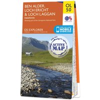
Ordnance Survey OS Map of Ben Alder, Loch Ericht & Laggan: Explorer OL50 - Waterproof
Purchase the Ben Alder, Loch Ericht & Loch Laggan folded map: single-sided (boarded cover) from the OS Explorer Map range Standard Publication Date: 10/06/2015 Weatherproof Publication Date: 10/06/2015
SALE PRICE
£12.99
RRP
£15.28
Save £2.29
Other Products from Ordnance Survey